Gradually clearing and cooling heading into the start of a new week
First Alert Forecast
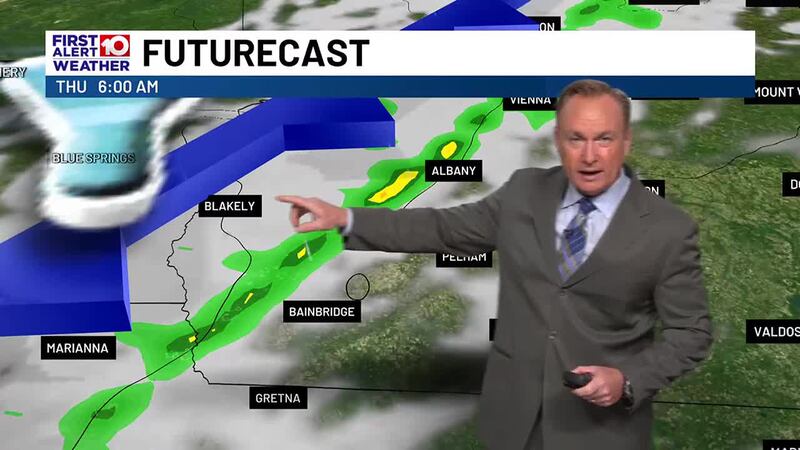
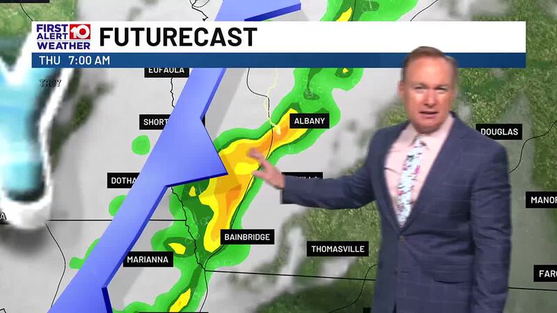
ALBANY, Ga. (WALB) - After this morning’s line of storms, a dry cold front will bring in cooler and drier conditions throughout the night. Temperatures drop into the 40s in the morning as skies continue to clear out.
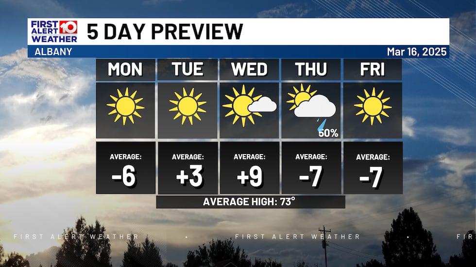
High pressure builds through the middle of the week, keeping drier weather in place. Monday will remain cool with temperatures climbing only climb into the 60s with lows into the night dipping into the 30s. Areas of frost cannot be ruled out. Highs will rebound starting Tuesdays into the 70s with 80s creeping in by Wednesday.
A new cold front moves in on Wednesday night, leading to our next chance for rainfall. There are no signs of severe weather as the next front passes. Rainfall amounts will be low.
A new high-pressure system arrives on Friday bringing cooler and quiet conditions that last into the next weekend. More signs of rain arrive by next Monday.
To stay updated on all the latest forecasts and weather, follow WALB News 10 Weather on Facebook and X (Twitter).
Click here to see all the latest weather headlines and here to view the First Alert Radar. To keep up with all things South Georgia weather, click to download the WALB First Alert Weather app on the Apple App Store and the Google Play Store.
Copyright 2025 WALB. All rights reserved.